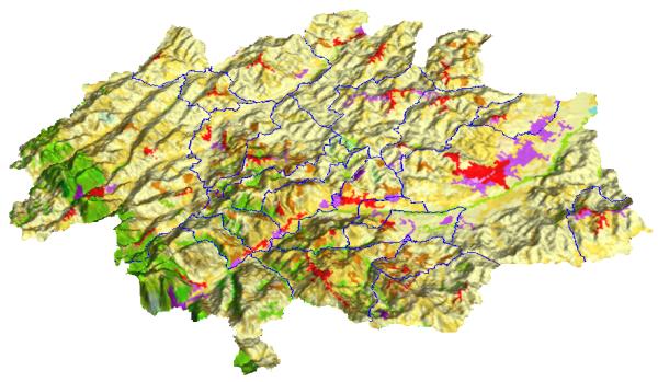
If a Digital Terrain Model (DTM) of the study-area is available, outputed maps can be “pasted” over it giving a very impressive view of what it is happening in the area.
The following example show the Corine Land cover map applied to the DTM of the Colli Esini:
Except where otherwise noted, content on this wiki is licensed under the following license:CC Attribution-Noncommercial-Share Alike 3.0 Unported
